Photo by Mark Steigenga
Hamlin Lake Dam
The Ludington State Park Had a Major Upgrade!
The Hamlin Lake Dam is within the Ludington State Park, and it’s worth the drive to check it out. You can reach the dam by taking M-116 north of Ludington all the way to the end, and then enter the Ludington State Park at the gate. Once inside, follow the state park road to the end parking lot. From here, it’s just a few short steps to the dam.
History of the Dam
In 1852, Charles Mears purchased land along the Big Sable River, in search of a mill location. The mouth of “Big Sable Lake,” with its narrow stream to Lake Michigan seemed the ideal location. Mears built the first wooden dam and established a sawmill in 1856. This dam was located a few hundred feet downstream from the present-day dam, and raised the lake 12-15 feet. A smaller, wooden dam in the lower Sable held back water to create a large holding pond for logs…thus the creation of Hamlin Lake. Since the demise of the lumber industry, there was no need to build a functional dam. But along the Hamlin Lake shoreline (the former holding pond), businesses, homes, and resorts had begun to spring up, establishing what is now known as a beautiful vacation getaway, the Hamlin Lake area.
A new, concrete dam was completed in 1914, about 100 yards upstream from the original dam, within the Ludington State Park. And underneath Hamlin Lake lies a bit of Mason County history- a 50-year-old village that played an important part in the development of this region.
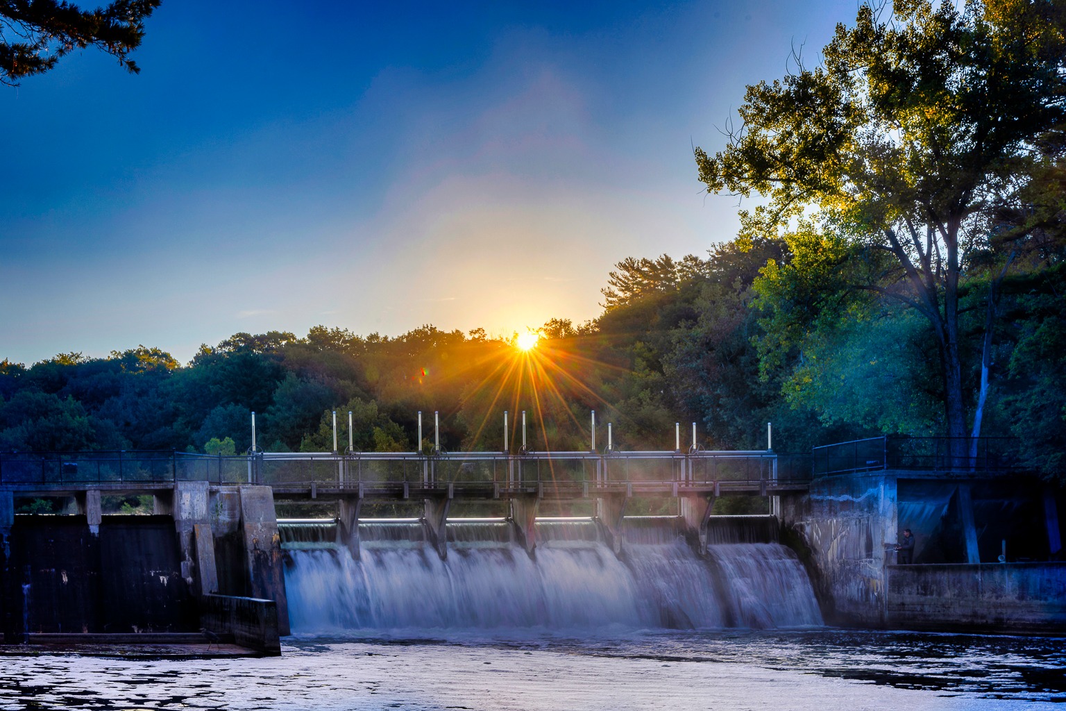
Adjusting the Water Levels
The Ludington State Park states that the lowering of the dam takes place on the fourth Monday in October each fall. This should take anywhere from 2-6 weeks. Each year, Hamlin Lake is lowered two feet in the fall and raised by the same amount in the spring and takes four to eight weeks, depending on precipitation. This process is done to control ice damage and erosion. The decision to raise the water level is usually made in late March or early April.
The springtime rising of the lake is more tentative in nature. Before the springtime process can begin, the DNRE must make sure that there is absolutely no ice left on the lake. Again, this is to make sure that the docks and launches are not damaged by lake ice. Once this happens, the DNRE sends out a press release alerting local newspapers and other media around the state.
Amenities and a Hot Spot for Fishing
Cast your line into the falling waters at the bottom of the dam amongst other anglers. This is a prime spot to catch a trout at the base of the dam. Walkways on either side provide a vantage point to catch the fishing action, or take in the serenity of the waters flowing into the river below.
Have a boat of your own? A launch is close by that launches you into the Big Sable River that connects to Hamlin Lake for an afternoon on the water.
The Sable River Trail
Scroll below for more content.
Contact Ludington State Park
Planning a visit to the Ludington State Park area? Have questions about your trip? Here’s where you can find help:
- Michigan DNR reservations
(800) 447-2757 - Ludington State Park Local Office
(231) 843-2423 - Concessions & Watercraft Rental
(231) 843-1888 - Special Programs
(231) 843-9261
What is there to see and do in Ludington State Park?
Experience the Hamlin Lake area!
Victory Township Park on Upper Hamlin Lake
Enjoy a picnic by Upper Hamlin Lake. With grills, a pavilion and picnic tables available, this park provides the perfect family setting.
Explore the Natural Beauty of Hamlin Lake
With some of the best fishing and boating around, Hamlin Lake brings much delight as well as some of the most beautiful, scenic backdrops.
South Bayou Park
Enjoy this small, relaxing park as an easy place to place your boat in the water or throw a line out to catch some pan fish for dinner.
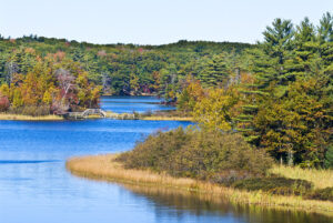
Ludington State Park Temporary Closure
The Michigan DNR has announced that Ludington State Park will be closed from September 3rd, 2024-July 1st, 2025 for improvements.
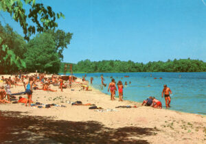
History of Hamlin Lake
Read about the history of Hamlin Lake, when it was created, and the major role this lake played in the milling industry in Ludington.
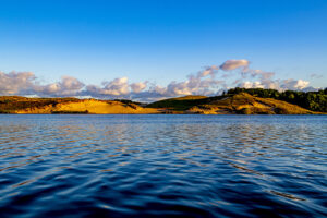
Hamlin Lake Beaches and Parks
Hamlin Lake is home to several parks and numerous dunes for exploration and leisure. Pack a picnic, cast your line, and enjoy the sites.

