

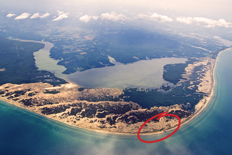
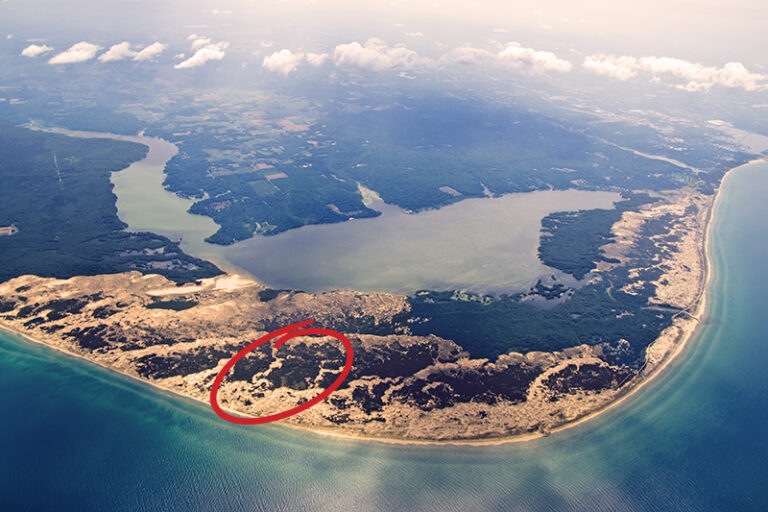
Visit the Ludington State Park
One of the most popular state parks in the Midwest offers a vacation within itself. Enjoy beautiful natural resources and endless activities.
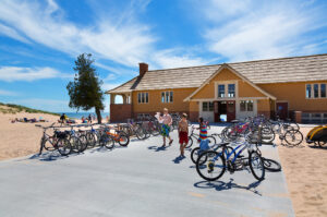
Visit the Lake Michigan Beach House in Ludington State Park
The beautiful Lake Michigan Beach House in the Ludington State Park is a two-story shelter with visitor exhibits, lounging, and concessions.
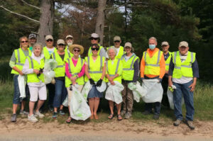
Meet the Friends of Ludington State Park
Friends of Ludington State Park is a non-profit organization dedicated to promoting wise use and conservation of the Ludington State Park.
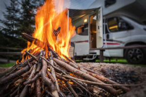
Camping at Ludington State Park
One of the most popular state parks in the Midwest! Ludington State Park has four campgrounds, hundreds of sites for your camping pleasure.
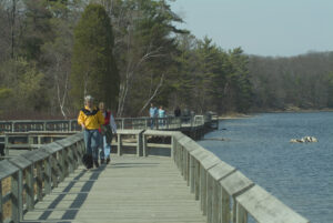
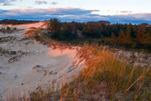
Trail Guide for Ludington State Park
The Ludington State Park trails are as varied as they are beautiful. Hike or bike 18 miles of eight marked trails with information kiosks.
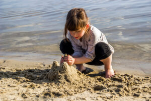
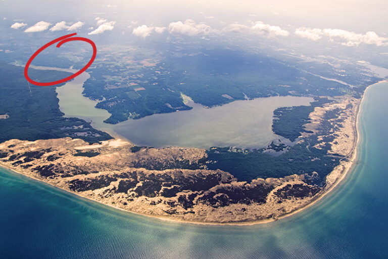
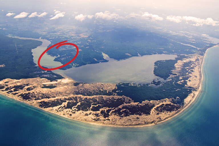
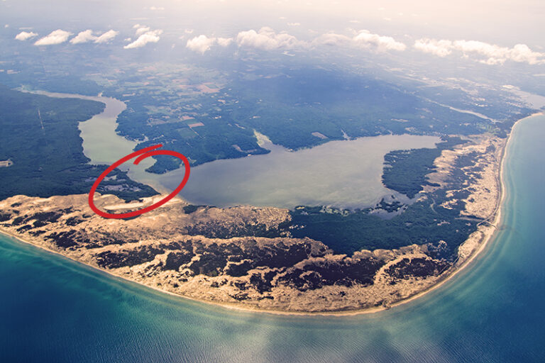
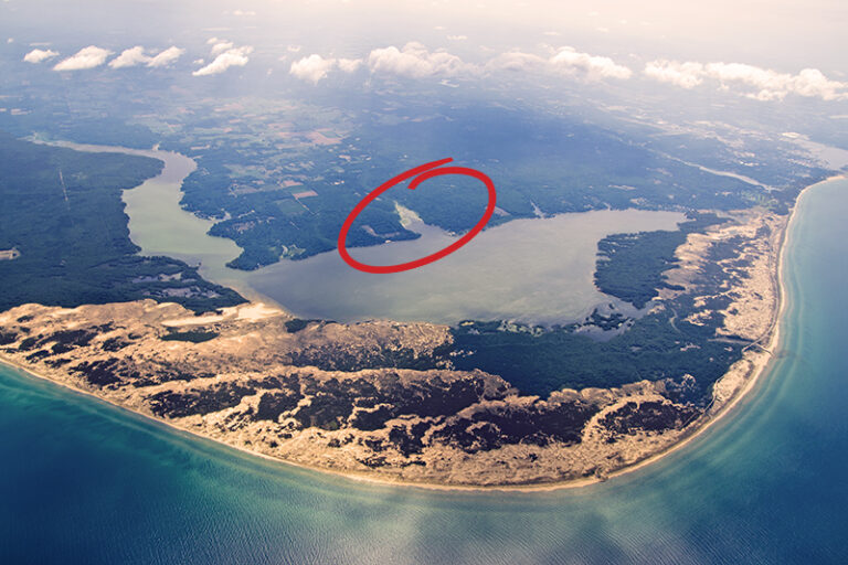
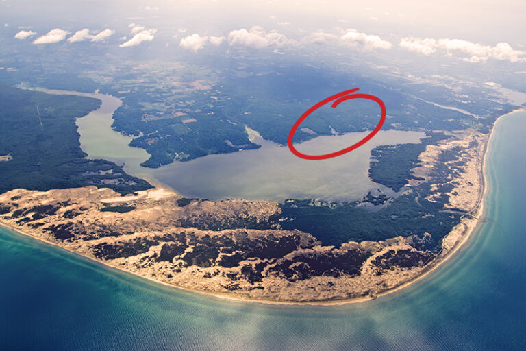
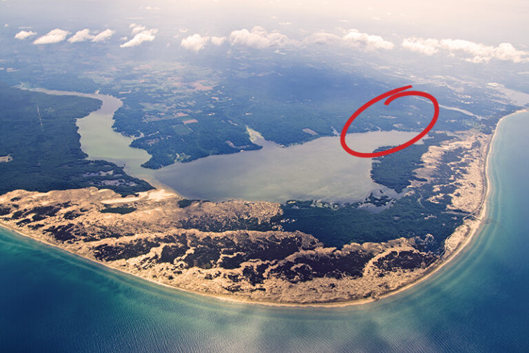
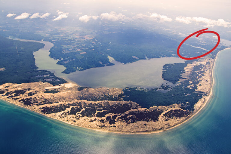
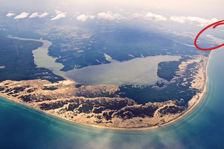
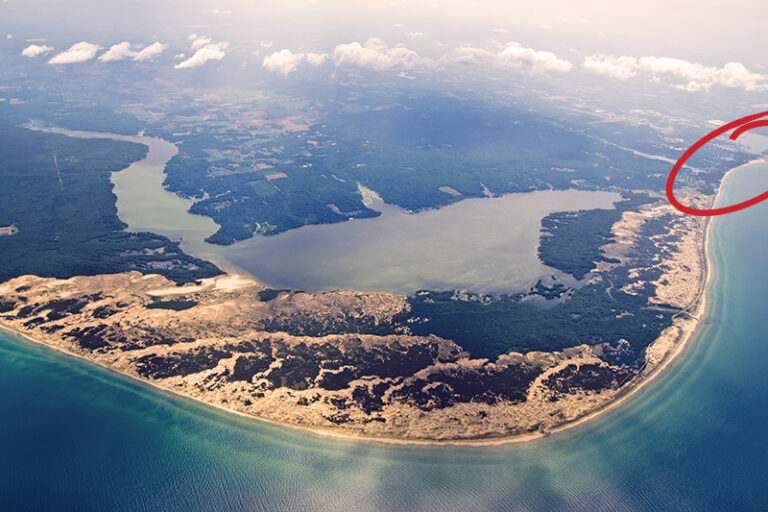
Hamlin Lake Beach in the Ludington State Park
The Hamlin Lake Beach within the Ludington State Park is fun for the whole family! With a dedicated, weed-free swimming area and more!