“Ariel View of Big Sable Point” Photo by: Todd & Brad Reed Photography
Aerial View of Big Sable Point
This aerial view of Big Sable Point is breathtaking, isn’t it? On this page, we will highlight various features of this beautiful area of land and water known as Big Sable Point. It’s such a beautiful playground for all to enjoy!
The Ludington State Park Had a Major Upgrade!
Table of Page Contents
Big Features of the Big Sable Point
One of the largest features you’ll see in the aerial view of Big Sable Point is Hamlin Lake. With over 5,000 acres of fresh waters to explore, there’s plenty of room for everyone to enjoy Hamlin Lake! The shoreline ranges from dunes to forest to residential and resort properties. Discover why Hamlin Lake is one Michigan’s favorite all sports lakes.
Another grand feature of Big Sable Point is the Ludington State Park, often named the most popular state park in Michigan. Ludington State Park is great for day use or camping.
The Ludington harbor is home to the Lake Michigan Carferry and a fleet of Lake Michigan charter boats. Many downtown Ludington park and walkways trace the harbor. This harbor is known as Pere Marquette Lake, which marks the end of the wild and scenic Pere Marquette River. The North Breakwater Lighthouse stands at the channel entrance.
Airplane Rides
If you love this sky high vantage point with an awe-inspiring aerial view of Big Sable Point, we suggest that you charter a plane ride from the Mason County Airport. In the next county north of Ludington, you will find the Manistee County Airport, home of Orchard Beach Aviation.
Each year, local pilot’s associations provide free plane rides for kids at Young Eagles Rallies. Events are held in Mason, Oceana, and Grand Traverse Counties at different times each year.
Big Sable River
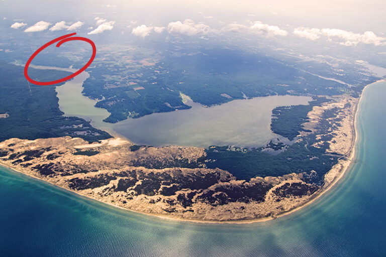
The Big Sable River watershed drains into Hamlin Lake. Hamlin Lake is actually mad-made, controlled by a dam located within the Ludington State Park. Downstream, the river empties into Lake Michigan.
Indian Pete Bayou
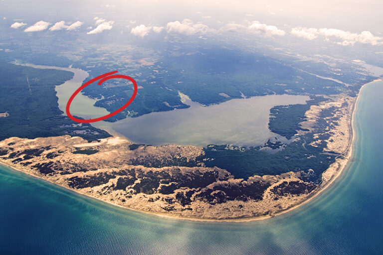
Indian Pete Bayou is located on Upper Hamlin Lake.
The Hamlin Lake Narrows
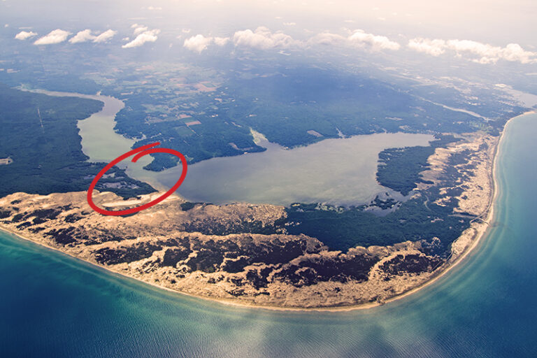
The Hamlin Lake Narrows is a narrow waterway which connects the upper and lower portions of Hamlin Lake.
North Bayou
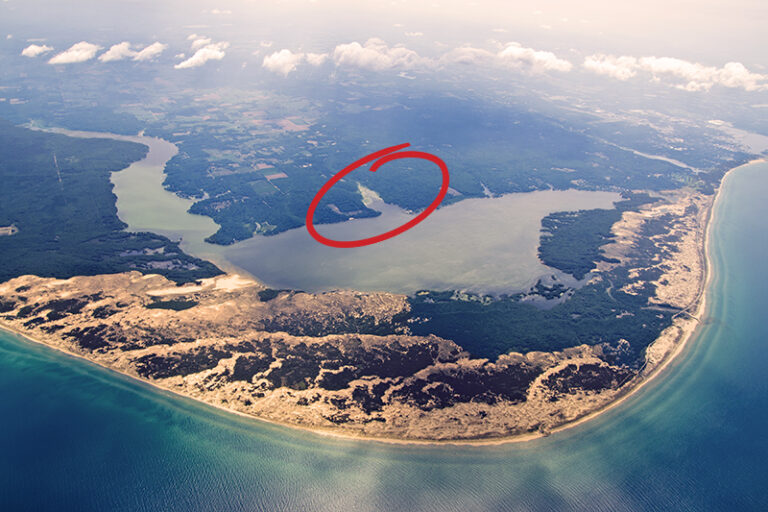
Located on Lower Hamlin Lake, the North Bayou is the largest of the lake’s many bayous.
Middle Bayou
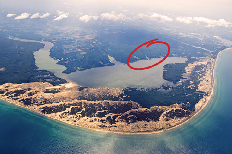
On Lower Hamlin Lake, the Middle Bayou is (obviously) in the middle, between the South and North Bayous.
South Bayou
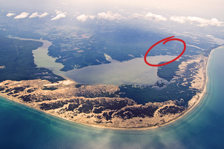
The South Bayou is near the southern end of Lower Hamlin Lake. The South Bayou Park has a free boat launch, but larger boats may not be able to fit under the South Bayou bridge, so be sure to investigate before launching!
Lincoln Lake
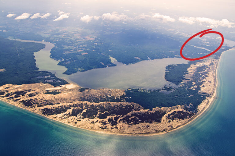
Lincoln Lake is a widened of the Lincoln River waterway. Cartier Park overlooks the lake, and the bridge by Epworth Heights passes over the river.
The Ludington Harbor
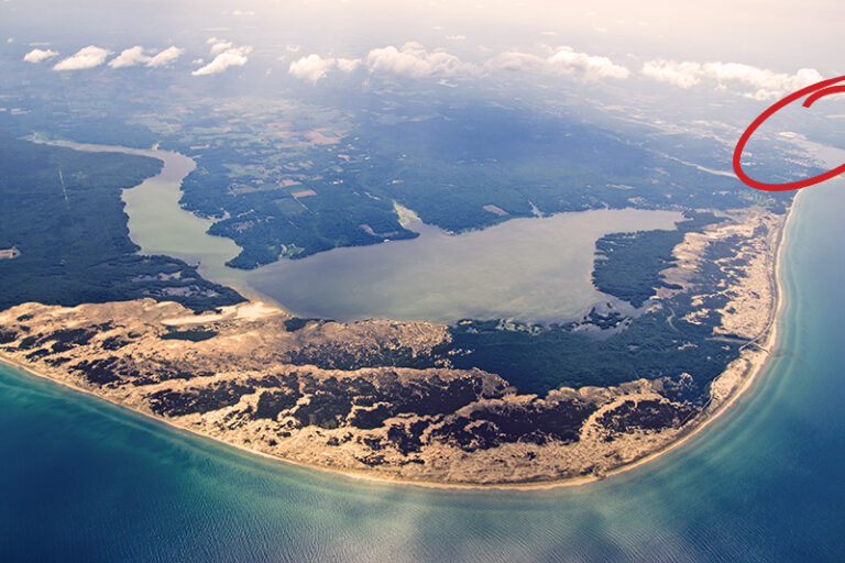
The Ludington Harbor is actually part of Pere Marquette Lake, which is a widened body of water where the Pere Marquette River empties into Lake Michigan. The S. S. Badger carferry dock is located here.
Stearns Park & Beach
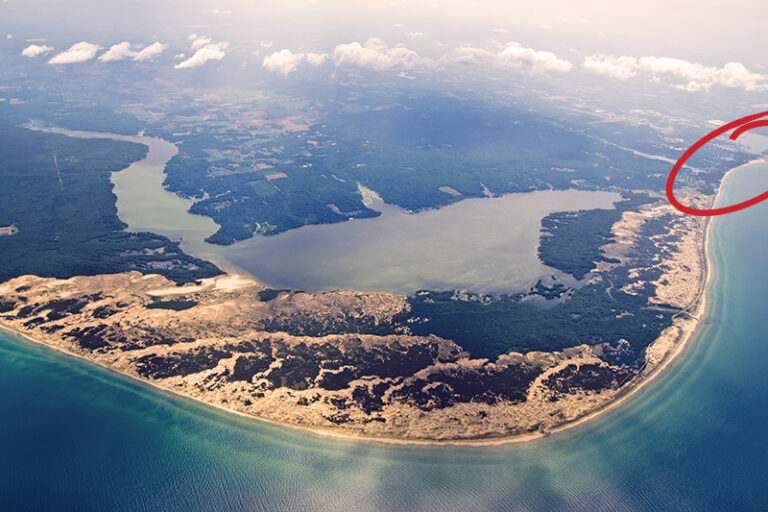
Stearns Park & Beach is a must-see location in Ludington, with an expansive beach, shaded picnic areas, and the entrance to the North Breakwater Lighthouse pier.
Epworth Heights
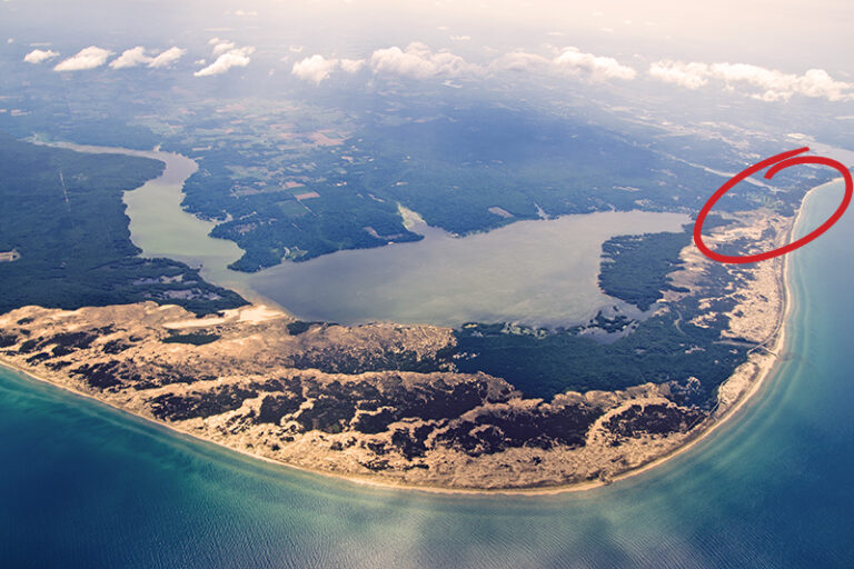
Epworth Heights is a private, summer community located on the Lake Michigan shore, off North Lakeshore Drive in Ludington.
First Curve
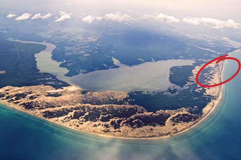
First Curve includes 3 miles of shorefront on M-116, north of the Ludington State Park.
Sargent Sand Company
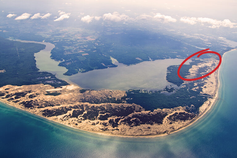
Sargent Sand Company owns this land adjacent to the Ludington State Park and utilizes it to harvest frac sand.
Hamlin Lake Dam
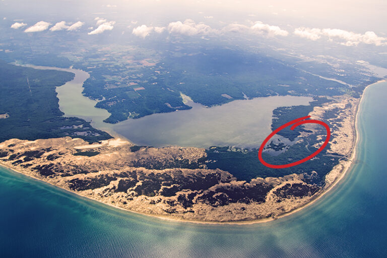
Hamlin Lake Dam is located within the Ludington State Park, at the end of M-116, North of Ludington.
Ludington State Park Gate
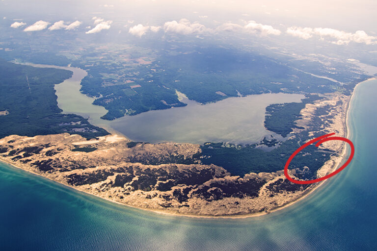
Ludington State Park Gate can be found North of Ludington, at the end of M-116.
Big Sable River Outlet

Big Sable River Outlet is the point at which the Big Sable River and Lake Michigan meet. It’s located just outside the gate to the Ludington State Park.
Lake Michigan Beach House

Lake Michigan Beach House is located just inside and to the West of the Ludington State Park Gate. It features amenities like a lounge area, exhibits about the park, concession stand downstairs, and restrooms.
Big Sable Point Lighthouse
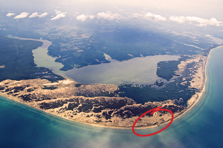
Big Sable Point Lighthouse is located within the State Park and boasts 112 feet on the shore of Lake Michigan.
Nordhouse Dunes Wilderness Area
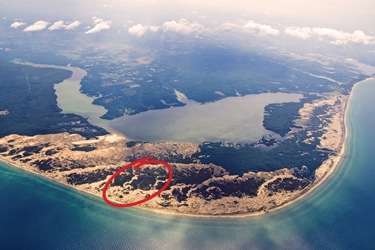
Nordhouse Dunes Wilderness Area encompasses 3,500 acres between Ludington and Manistee. It has two points of access: From the Lake Michigan Recreation Area in the Northern section between Ludington and Manistee and the other is in the Southeastern section off Nurnberg or Quarterline Roads.
Contact Ludington State Park
Planning a visit to the Ludington State Park area? Have questions about your trip? Here’s where you can find help:
- Michigan DNR reservations
(800) 447-2757 - Ludington State Park Local Office
(231) 843-2423 - Concessions & Watercraft Rental
(231) 843-1888 - Special Programs
(231) 843-9261
What is there to see and do in Ludington State Park?
Experience the Ludington State Park!
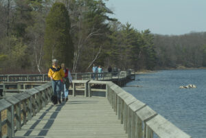
Trail Guide for Ludington State Park
The Ludington State Park trails are as varied as they are beautiful. Hike or bike 18 miles of eight marked trails with information kiosks.
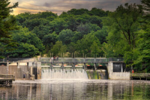
Hamlin Lake Dam
Read about the mighty dam that lives in Hamlin Lake, how it came to be and how it is utilized to help protect this man-made lake.
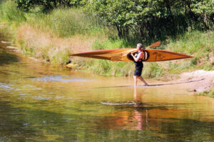
Ludington State Park Water Trails
Water fun in the Ludington State Park! Float down the Big Sable River, paddle Hamlin Lake water trails, launch a pleasure boat, or swim!
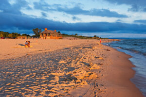
Dune Grass Concessions
Dune Grass Concessions offers watercraft & bike rentals, concession food, ice cream, convenience items, State Park & Hamlin Lake souvenirs!
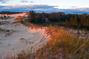
Visit the Ludington State Park
One of the most popular state parks in the Midwest offers a vacation within itself. Enjoy beautiful natural resources and endless activities.
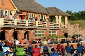
Ludington State Park Summer Events
The Ludington State Park holds multiple events for the whole family during the summer months. Don’t miss the live music and presentations!

